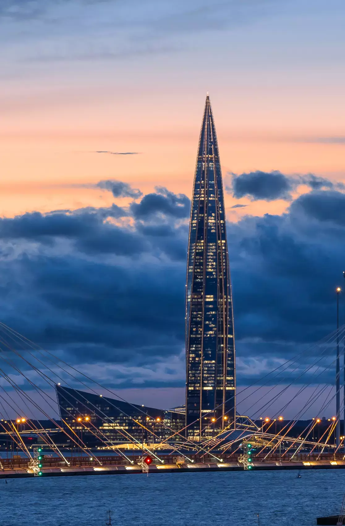
Height of the complex’s dominant structure
Over 100 unique technologies and solutions
49 hours of continuous concrete pouring
World’s best skyscraper according to the Emporis Skyscraper Awards
CTBUH Awards’2021: four-time winner
Ranks in the top five of the most eco-friendly tall buildings worldwide
Live cams
Gigapanorama
Take a look at St.Petersburg from Lakhta Center’s observation deck.
Mediabank
Official photos and videos of the Lakhta Center
Photo feed
Take photos and post them on social media with hashtags #лахтацентр or #lakhtacenter and take part in our photo contests. We post the best photos in the Lakhta Center accounts.
Routes
Look at the Lakhta Center from fresh angles. We recommend vantage points that offer impressive panoramas of the skyscraper.
Cape Leontief
This location provides views of the Malaya Nevka River, the Great Petrovsky Bridge, and the Lakhta Center. The cape takes its name from the Leontief cotton-printing factory that was based here. The Leontief merchants were known to be descendants of an Old Believer family which settled in St. Petersburg in the 1740s.
In
Reclaimed areas of Vasilyevsky Island
The Marine Façade project aimed at developing newly reclaimed territories in the Vasileostrovsky District has been in progress for over 10 years. As of this date, about half of the territory has been reclaimed, the Sea Port of St. Petersburg has been opened, a number of residential estates have been built, and a few more are under construction.
Today, the reclaimed areas of Vasilyevsky Island are referred to as the “sand emirates” and the “Petersburg desert” on social media. This is a good place to watch sunsets over the Gulf of Finland.
Kanonersky Island
Kanonersky Island is located between the Morskoy Canal and the Gulf of Finland. In summer, the island is a popular destination for Petersburgers: they meet sunsets there, take walks on the Island’s spit, and admire the Gulf and the Lakhta Center tower.
Morskaya (Marine) Embankment
One of the newest embankments of St. Petersburg got its name in 1972. It used to run along the shore of the Gulf of Finland from the square by Pribaltiyskaya Hotel to Nalichnaya Street.
Over recent years, the reclaimed territories and the Western High-Speed Diameter highway have made it impossible to reach the shore from the Embankment, leading to debate over what to rename it. That is why the street received a popular nickname — Pribaltiysky Avenue — which, it should be noted, has never been registered officially.
Intersection of WHSD and Yakhtenny Bridge
The Yakhtenny Bridge was opened in 2017 and is the longest (940 meters) and highest (16 meters) pedestrian bridge in St. Petersburg. The Bridge, which links the southern coast of the Primorsky District and the northern coast of Krestovsky Island, has a sidewalk, a bike lane, and two observation sites.
The Bridge spans over the Bolshaya Nevka River and runs below the Central Section of the Western High-Speed Diameter highway. Standing under these two bridges, one can see the Park of the 300th Anniversary of St. Petersburg, the domed roof of the Piterland water park, and the Lakhta Center.
Kirov Central Culture and Leisure Park
The Kirov Central Culture and Leisure Park is situated on Yelagin Island, which is the northernmost island in the Neva River estuary. Yelagin Palace and the city’s only Museum of Art Glass are located in the Park. The western part of the island is home to a mini zoo with reindeer, pygmy goats, a sheep, a fox, and a donkey.
The Park is a place to go roller skating, boating, and paddle boating in summer and kicksledding and ice skating in winter. Please note that it is forbidden to ride electrically driven vehicles in the Park. The western spit of Yelagin Island has an observation site with two lion sculptures, and offers a view of the Gulf of Finland.
Contacts
Interior finishing and landscaping are now in progress. The opening date for the complex will be announced after the works are completed.
Mediabank
Official photos and videos of the Lakhta Center